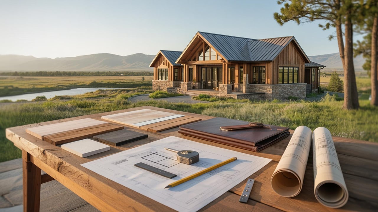
Shopping for 20–40 acres near Livingston can feel exciting and overwhelming at the same time. You want privacy, views, and solid access without surprises on wells, septic, or covenants. In this guide, you’ll learn where these parcels cluster, what the terrain and road conditions are like, how utilities and easements typically work, and how to focus your search so you do not miss the right property. Let’s dive in.
Best places for 20–40 acres
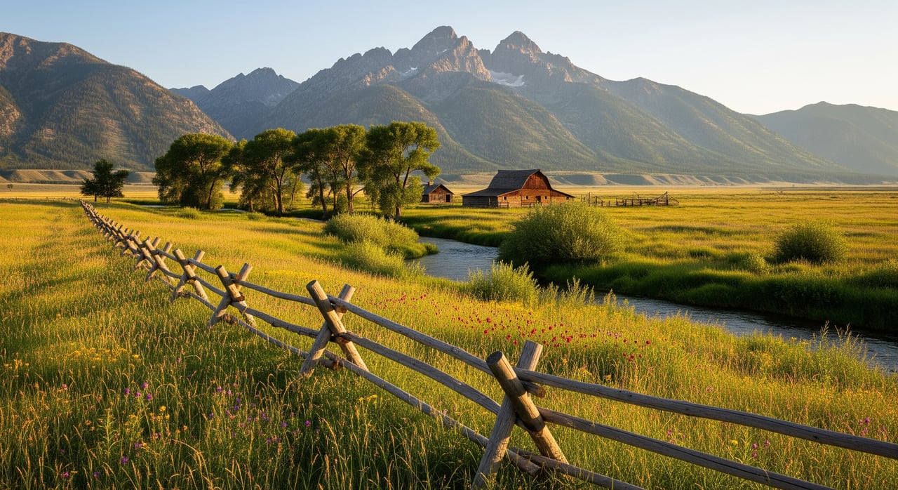
South: Paradise Valley corridor
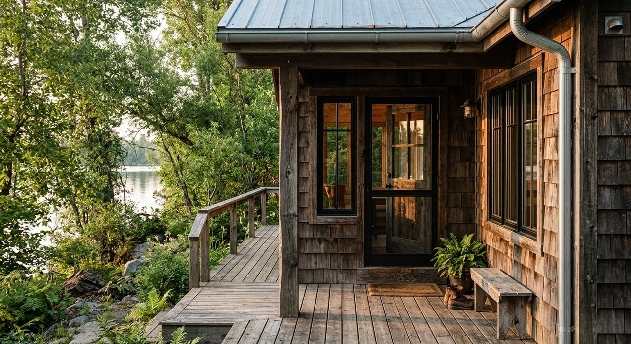
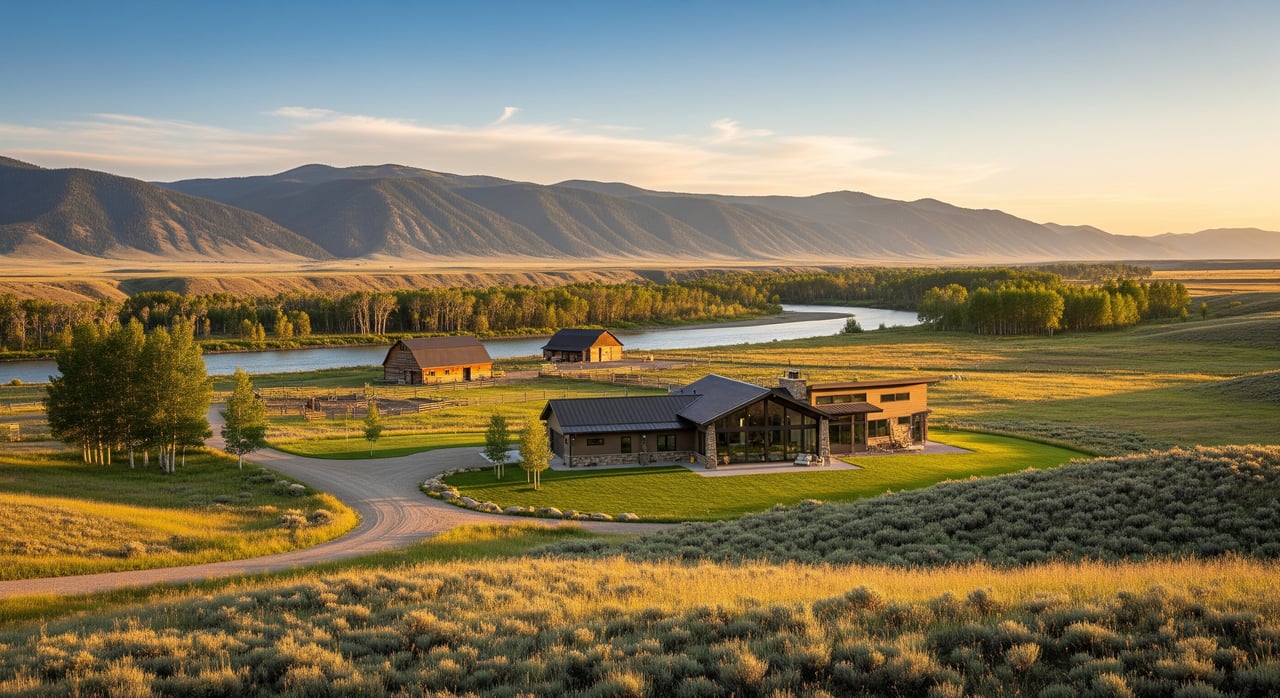
Paradise Valley stretches south toward Gardiner with a mix of river bottomlands and rising foothills into the Absarokas. In this sector, 20–40 acre parcels often come from historic ranch splits or more recent ranchette subdivisions. You may see irrigated meadow, riparian edges, or steeper timbered draws.
Access varies by setting. Valley parcels often tie into US‑89 or well‑traveled county roads, while foothill properties use maintained gravel routes and private lanes. Winter and spring runoff can affect some low‑lying approaches, and steeper roads may call for 4WD during storms. Expect a blend of no‑covenant legacy parcels alongside subdivisions with CC&Rs that address building standards, setbacks, and on‑site systems. Conservation easements are present in the valley and can shape long‑term use, so you should confirm any recorded easement early. Drive times to Livingston are commonly 10–40 minutes depending on location.
West and northwest: Absaroka foothills
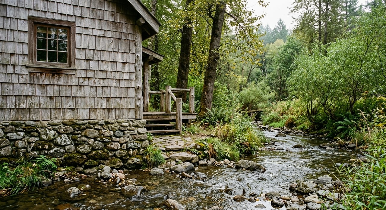
The west and northwest edges near the Absaroka foothills are rugged and scenic with draws, rock outcrops, and pockets of forest. Parcels in the 20–40 acre range here can feel more private and may sit near National Forest boundaries, which is a plus for recreation access.
Reaching these properties often requires longer gravel spurs off county roads and private drives. Grades can be steeper and winter isolation is possible during heavy storms. Formal HOA subdivisions are less common than deed‑based restrictions or conservation easements. Expect longer drives to groceries and services, often 20–45 minutes depending on conditions and exact location.
East and northeast: Toward Clyde Park and Big Timber corridor
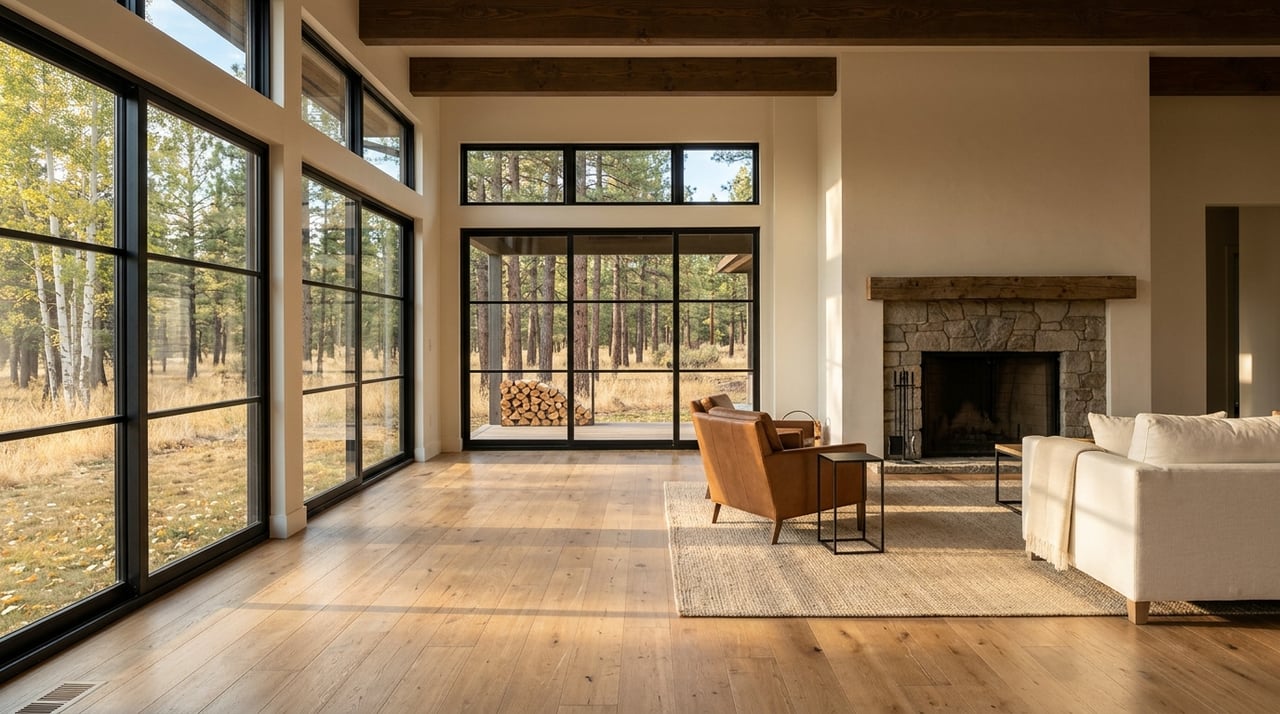
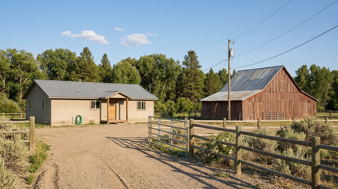
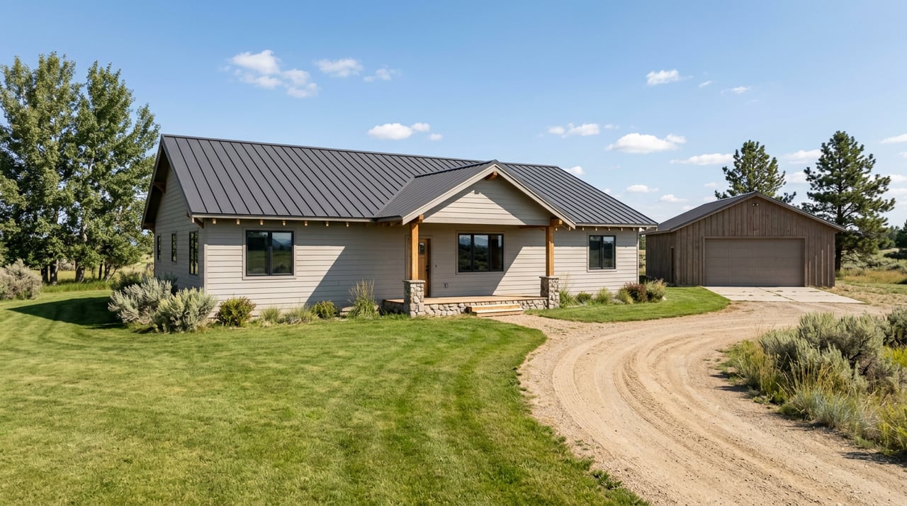
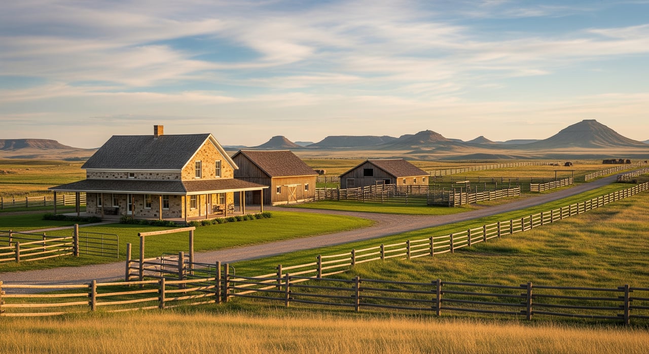
Moving east and northeast from Livingston, the terrain trends flatter with hay meadows, irrigated fields, and river terrace ground. Many 20–40 acre tracts in this direction are set up as ranchettes or small hobby farms with practical acreage.
Access is often simpler with more paved or well‑maintained gravel county roads. Irrigation ditches, headgates, and related easements are common in this area, so you should verify ditch company agreements and any water delivery details. You will see a range of restrictions from few‑to‑none on historic ag parcels to modest building envelopes and wastewater standards in newer splits. Drive times to Livingston typically fall within 20–40 minutes, with additional services available further east.
Immediate outskirts and river bottom near Livingston
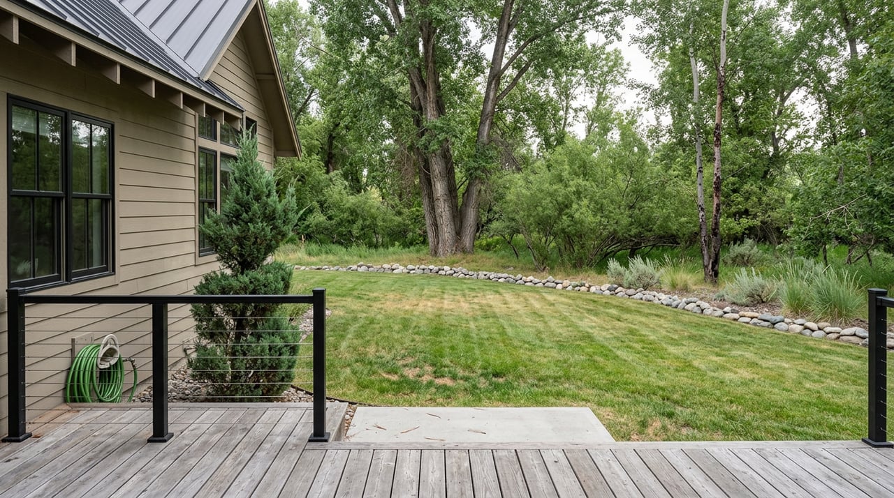
Within roughly 10–15 miles of town, you will find a transitional mix: small ranches, larger‑lot subdivisions, and some riverfront parcels. Many tracts offer buildable meadows with convenient access, though you still need to evaluate floodplain factors along the Yellowstone River and tributaries.
Roads near town are more likely paved or high‑quality gravel with short private driveways. Subdivision activity and CC&Rs are more common in this ring, especially in residential‑focused developments. If you prioritize quick trips to groceries, clinics, and shops, these outskirts can keep day‑to‑day drives to a short range, often 10–25 minutes.
Access and roads to expect
Road types and maintenance
Understanding who maintains the road is essential. Maintenance can affect travel times, vehicle needs, and even financing.
- State highways: The Montana Department of Transportation maintains major routes like I‑90 and primary US or state highways. These are typically reliable year‑round.
- County roads: Park County Road Department handles county roads, though frequency and surface type vary. Gravel routes may be graded seasonally and dust control can be minimal.
- Private roads and driveways: Owners or associations maintain these. Many subdivisions share plowing and grading through road agreements or HOA dues.
- Forest Service or BLM roads: Surfaces and maintenance vary widely. Many are not plowed in winter and can be rough or seasonal.
Key takeaway: always confirm jurisdiction on the plat and with the county, request any road maintenance agreements, and plan for winter access needs if you choose a private or steeper route.
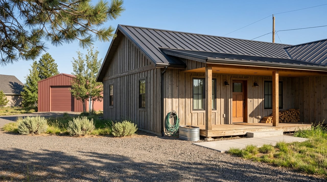
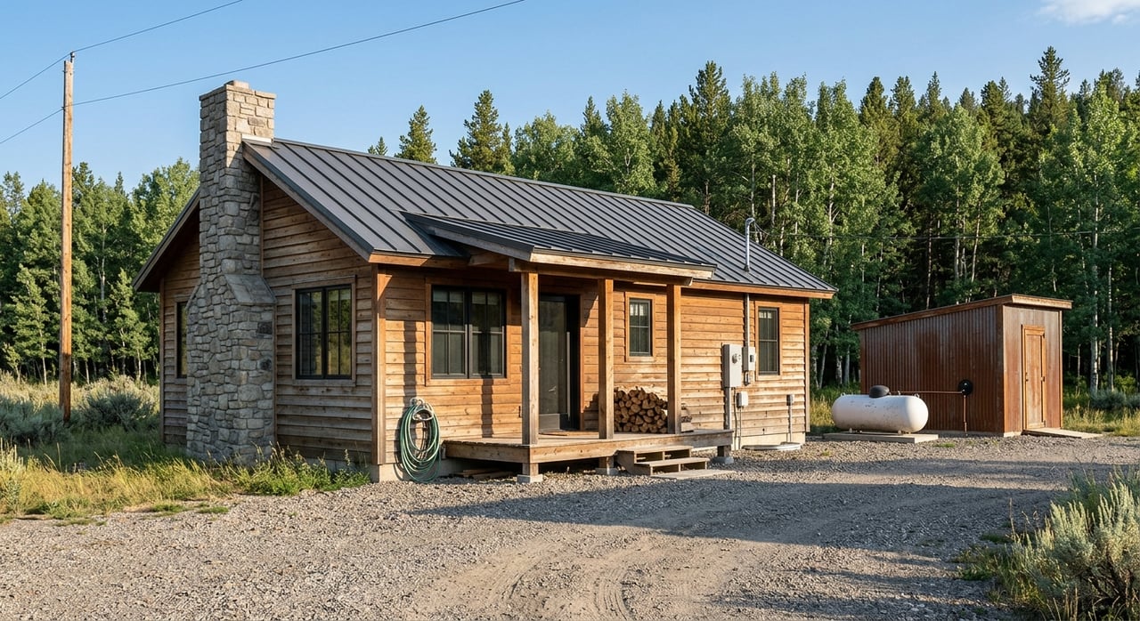
Utilities and on‑site services
Rural acreage living comes with more on‑site systems. Knowing what is available or required helps you budget and plan.
- Electricity: Service may be available from regional utilities or electric co‑ops. Confirm line location and extension costs before you offer.
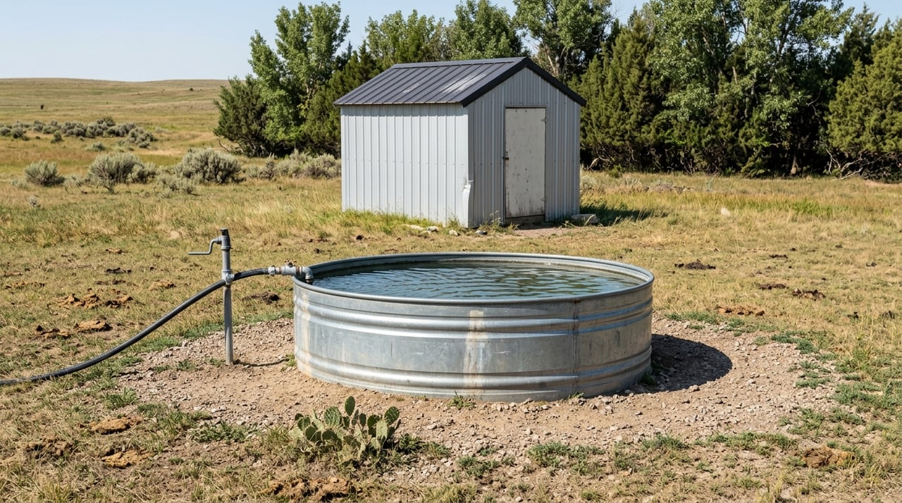
- Water: Private wells are typical. Review well logs for depth and yield and check any applicable water rights.
- Wastewater: Most parcels require septic systems. Permitting and design standards apply and should be verified with local and state authorities.
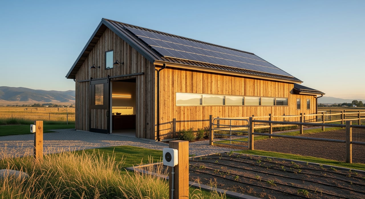
- Propane, solar, generators: Common for supplemental or primary energy, especially on foothill or off‑grid sites.
- Broadband and cell: Coverage is spotty in draws and foothills. Conduct on‑site signal tests and ask carriers about options.
Seasonal and natural hazards
Montana seasons shape access and risk. Plan your due diligence with weather in mind.
- Winter: Snow and drifting can limit travel on steep or private roads.
- Spring: Runoff can affect low‑lying roads, creek crossings, and increase flood risk near river bottoms.
- Wildfire: Forested foothills carry more risk. Budget for defensible‑space work and confirm insurance availability and cost.
Covenants, zoning, and easements
Common CC&R topics on ranchettes
CC&Rs vary widely. Expect to see combinations of the following in 20–40 acre splits:
- Building setbacks, height limits, and minimum finished square footage
- Limits on further subdivision to preserve parcel size
- Road maintenance duties and shared driveway standards
- Livestock allowances or restrictions
- Rules for temporary RVs and construction housing
- Architectural review in more formal developments
Land‑use checks to verify
Beyond CC&Rs, you should confirm recorded controls and overlays that affect how you can use the land.
- Subdivision and plat restrictions filed with Park County
- Zoning designations and permitted uses
- Conservation easements recorded with a land trust or similar holder
- Water rights and any irrigation or utility easements
- FEMA floodplain mapping and county floodplain rules near rivers and creeks
Buyer checklist before you write an offer
Do not skip these steps. They help you avoid costly surprises and delays.
- Request a preliminary title commitment and read all recorded CC&Rs and easements
- Review the county plat and GIS for legal access, zoning, and flood overlays
- Confirm road maintenance responsibility and typical plowing schedules
- Contact utility providers for service availability and line‑extension estimates
- Pull well logs and discuss septic feasibility with a local engineer or county sanitarian
- Obtain any road maintenance agreements or HOA bylaws when private roads are involved
Market signals and search strategy
What drives price and demand
Inventory for 20–40 acre parcels changes with ranch sales and subdivision activity. Parcels with river frontage or near public land often move faster due to recreation value. Prices typically reflect these factors:
- Proximity to paved roads, Livingston, or Bozeman
- Flat, irrigable valley ground compared to steep foothill terrain
- Scenic views, tree cover, and adjacency to National Forest
- Presence of recorded conservation easements that may limit future uses
Timing and closing considerations
Raw land closings can take longer than a standard home purchase. Build in time for permits and verifications.
- Septic design and permitting, well testing, and easement review can add several weeks
- Seasonal access issues may limit site work to specific months
- Align contract timelines with the season so you can complete evaluations and avoid weather delays
How to focus your search with Dayle
What Dayle needs from you
Clear criteria help filter the noise and spotlight the right parcels fast. Share your:
- Exact acreage range between 20 and 40 acres and any must‑haves like river frontage or forest adjacency
- Maximum commute time to Livingston or another hub
- Comfort level with private versus county road access, plus winter driving tolerance
- Utility requirements such as grid power, off‑grid readiness, or high‑speed internet needs
- Budget range and financing approach
- Preference about conservation easements
Smart alert setup
Targeted alerts keep you ahead of new listings and niche opportunities.
- Acreage filter: 20–40 acres
- Land use: residential acreage, agricultural or recreational, matched to your goals
- Keywords: well on site, septic installed, private road, year‑round access, irrigation, river frontage, forest boundary, conservation easement
- Map polygons: Paradise Valley south, west foothills, east valley, and near‑town outskirts
- Data overlays: floodplain, public land boundaries, utility lines when available
- Notification cadence: instant new listing plus a daily digest
Your step‑by‑step action plan
Use this simple path to get from curiosity to clarity.
- Define your micro‑markets and non‑negotiables.
- Have Dayle set up separate, polygon‑based alerts for each sector.
- Add county GIS monitoring where possible and keep a short list of target parcels.
- For any standout listing, request CC&Rs, title commitment, well logs, septic records, road agreements, and any conservation documents before you offer.
- Schedule site visits in both summer and winter if possible to test access, drainage, and signal coverage.
You can buy the right 20–40 acre property with confidence when your search is organized around access, terrain, utilities, and recorded restrictions. If you want curated options and fast due diligence support, connect with Dayle Stahl for a focused, owner‑led approach.
FAQs
What areas near Livingston commonly have 20–40 acre parcels?
- You will find options in four main sectors: south in Paradise Valley, west and northwest in the Absaroka foothills, east and northeast toward the lower Yellowstone River valley, and the near‑town outskirts within about 10–15 miles.
How reliable is winter access on private or steep roads?
- Conditions vary. State and county roads are maintained, while private roads depend on owners or HOAs. Steeper or shaded routes can require 4WD and occasional plowing during storms.
What utilities should I expect on rural acreage?
- Most parcels rely on private wells and septic systems, with electricity available from regional utilities or co‑ops. Propane, solar, and generators are common supplements, and broadband can be spotty in foothills.
How do conservation easements affect my use of the land?
- Recorded easements can limit subdivision and certain development or commercial uses. You should read the easement language during due diligence to confirm what is allowed.
What drives price differences between valley and foothill parcels?
- Proximity to paved roads and town, irrigable valley ground, scenic views, tree cover, and public land adjacency all influence value. Easements can also affect pricing and future flexibility.
What documents should I request before making an offer on land?
- Ask for the title commitment, recorded CC&Rs, road maintenance agreements, well logs, septic records, and any conservation easements. Confirm zoning, floodplain status, and road jurisdiction with the county.