Can you picture stepping onto your porch and hearing the Boulder River in the morning, cold and clear from the high country? If you’re dreaming about a river lifestyle near Big Timber, you’re not alone. The Boulder valley blends quiet acreage living with quick access to trails, fishing, and wide skies. In this guide, you’ll learn what life really looks like along the Boulder, how the river’s seasons affect your day‑to‑day, what property types are common, and the practical steps to buy with confidence. Let’s dive in.
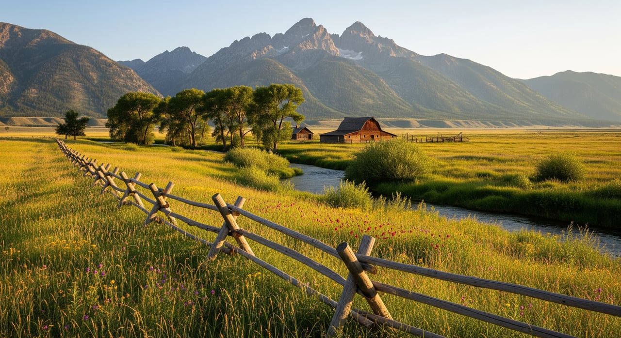
Why the Boulder River draws people
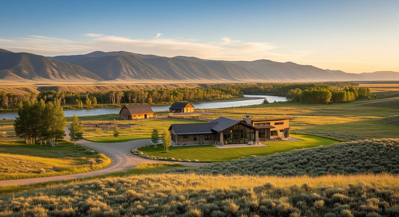
Just south of Big Timber, the Boulder River leaves rugged Absaroka country and begins its run to the Yellowstone. The area around Natural Bridge marks the shift from forested public land to a mostly private, agricultural valley. Hike the short loop at Natural Bridge and the falls to see where the canyon opens and the river starts to meander.
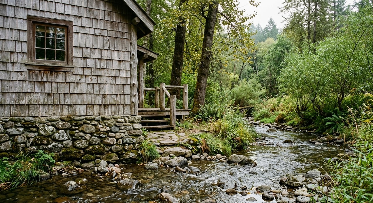
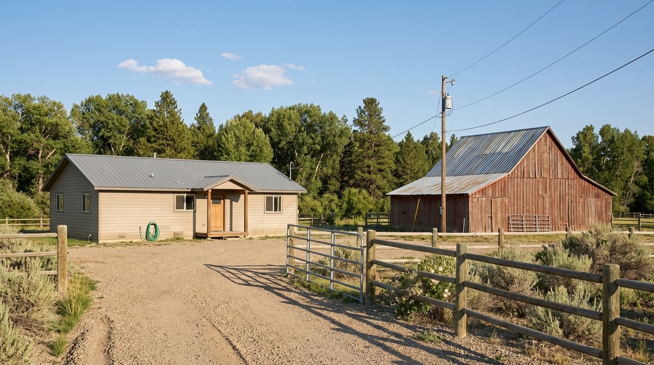
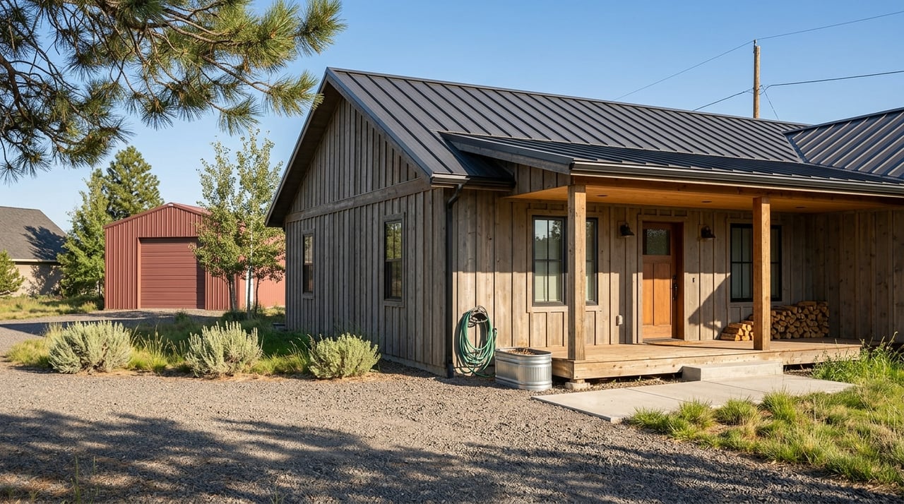
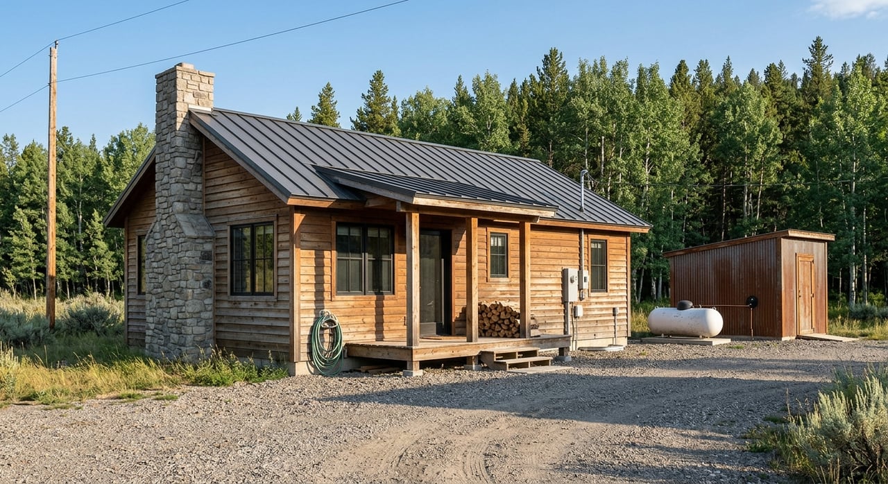
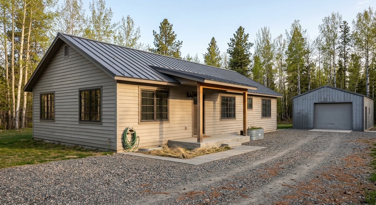
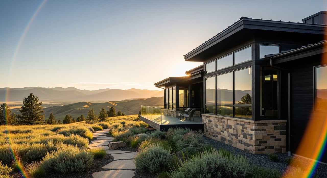
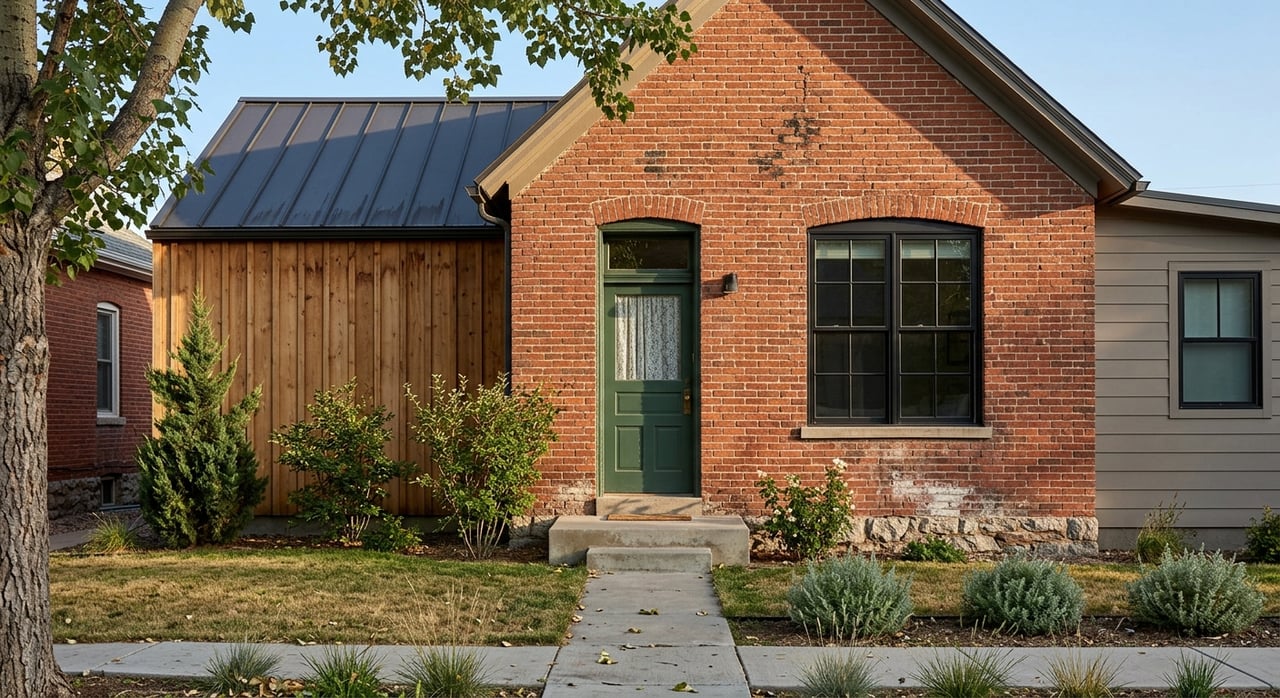
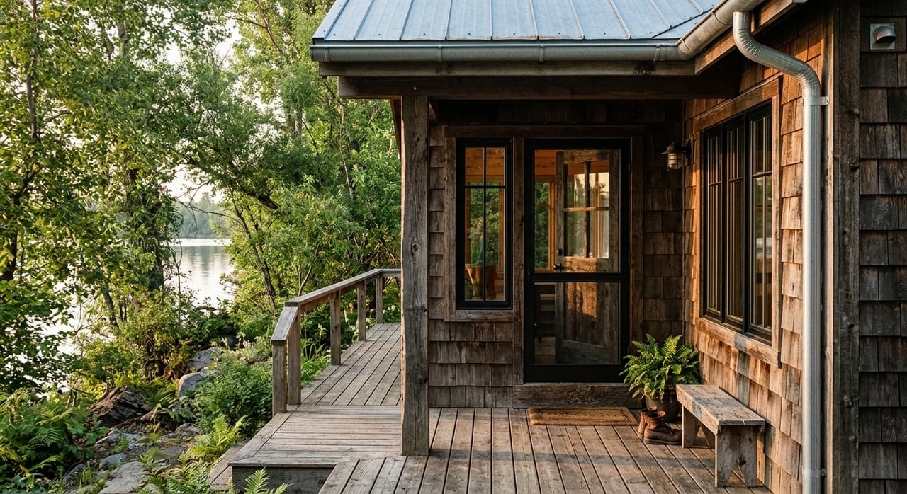
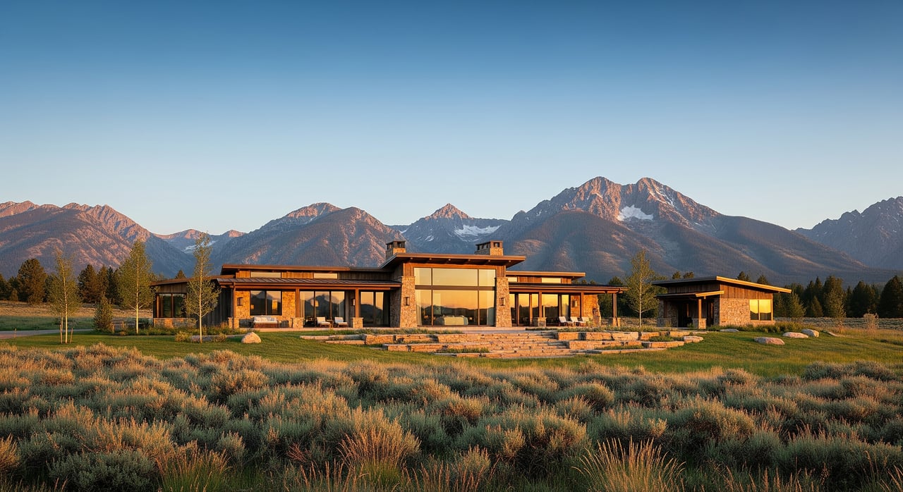
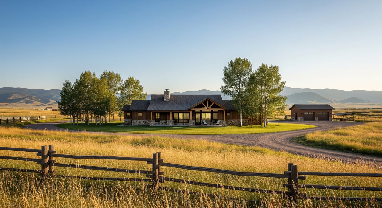
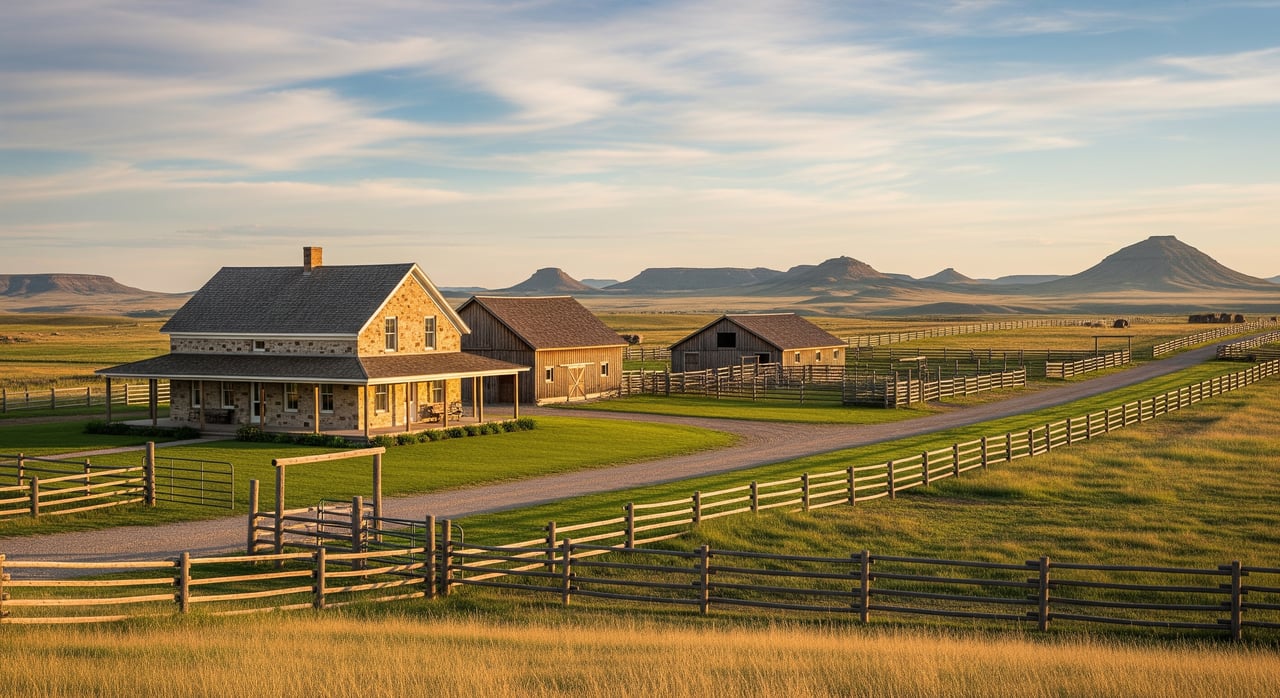
As you move downstream toward town, you’ll find hay fields, working ranches, guest ranches, church camps, and low‑density residential parcels. The county’s growth policy shows most residential parcels here are 20 acres or larger, with homes clustered more heavily between Eight Mile Bridge and Big Timber. It is a classic Montana mix of productive ground, legacy holdings, and a handful of vacation cabins tucked into cottonwoods.
River seasons and daily life
The Boulder is a mountain‑fed freestone stream. Water levels run highest during spring runoff, typically late May into June. Summer and fall often bring lower, clearer water that’s easier to wade and fish. If the river is central to your plans, keep an eye on the USGS gage at Big Timber for seasonal flow trends and daily conditions.
High water changes more than fishing. It can affect access roads near low crossings, influence where you can safely wade, and shift gravel bars on private riverfronts. During runoff, many residents focus on hiking, horseback riding, or exploring forest trails instead of time in the river. By late summer, evenings on the bank and fall color along the cottonwoods make for a relaxed, slow rhythm.
Fishing and floating basics
The Boulder supports trout and mountain whitefish, with rainbow, brown, and brook trout common in places and Yellowstone cutthroat present in parts of the watershed. It fishes like a classic pocket‑water stream, with riffles, boulders, and fast seams. Below Natural Bridge, the valley widens and the river remains productive, but much of the bank is private.
Floating is possible, yet timing and experience matter. At low water, boulders and shallows make line choice and reading water important. At higher flows, speed and hazards like snags or downed trees increase. Many anglers stick to wading and adjust tactics with the seasons. If you plan to launch or wade at public sites, start your day at official Montana Fish, Wildlife & Parks access points such as Boulder Forks Fishing Access Site and obey posted signs.
Public land and trail access
South of Natural Bridge, the road continues into Custer–Gallatin National Forest with signed trailheads, USFS cabins, and developed campgrounds. These public lands are a major perk if you live nearby. On a warm evening, you can be hiking a shaded trail or casting a few runs before dinner. Public access below Natural Bridge is more limited, so using the official FWP sites is the best way to reach the water legally and safely.
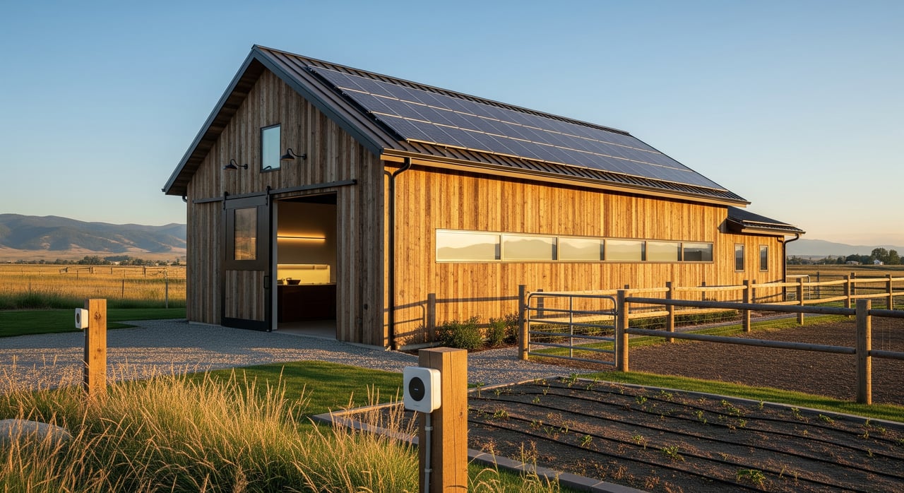
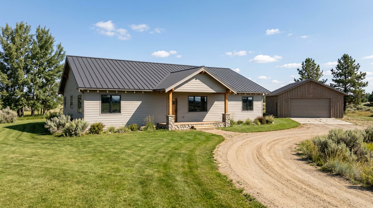
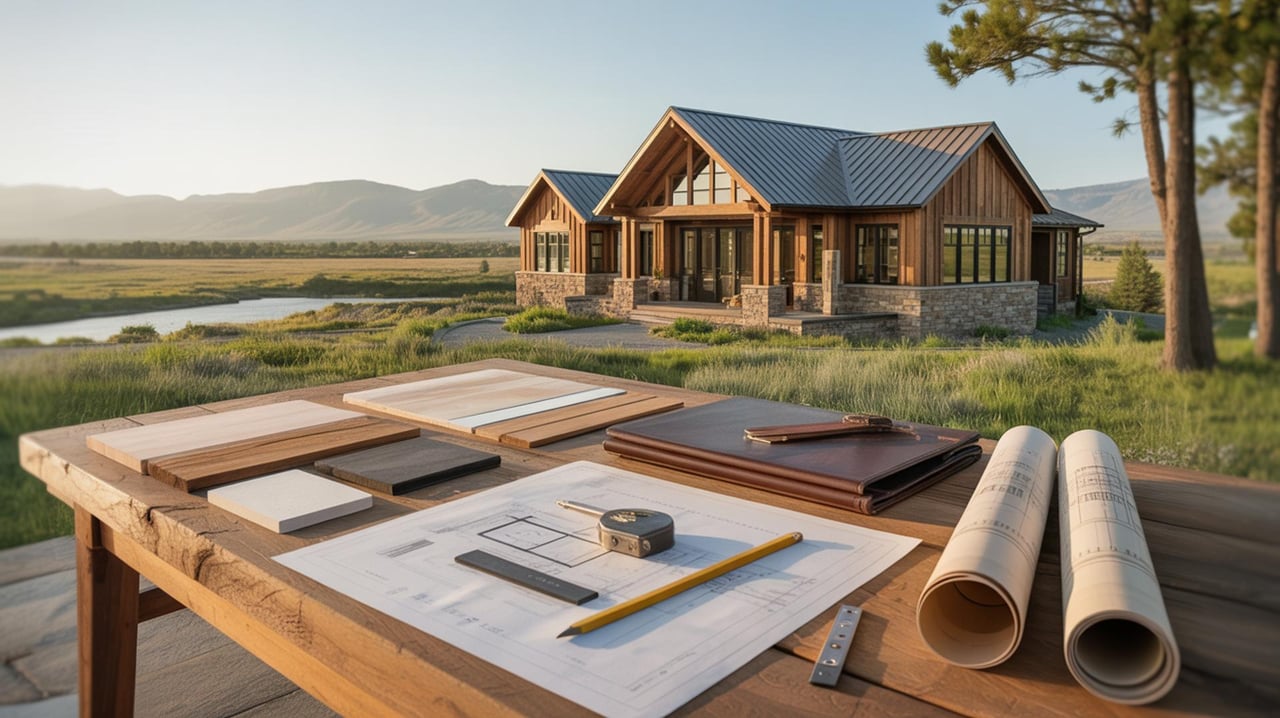
Property types you’ll find
- Working ranches and irrigated hay ground
- Twenty‑acre‑plus residential parcels with river or creek proximity
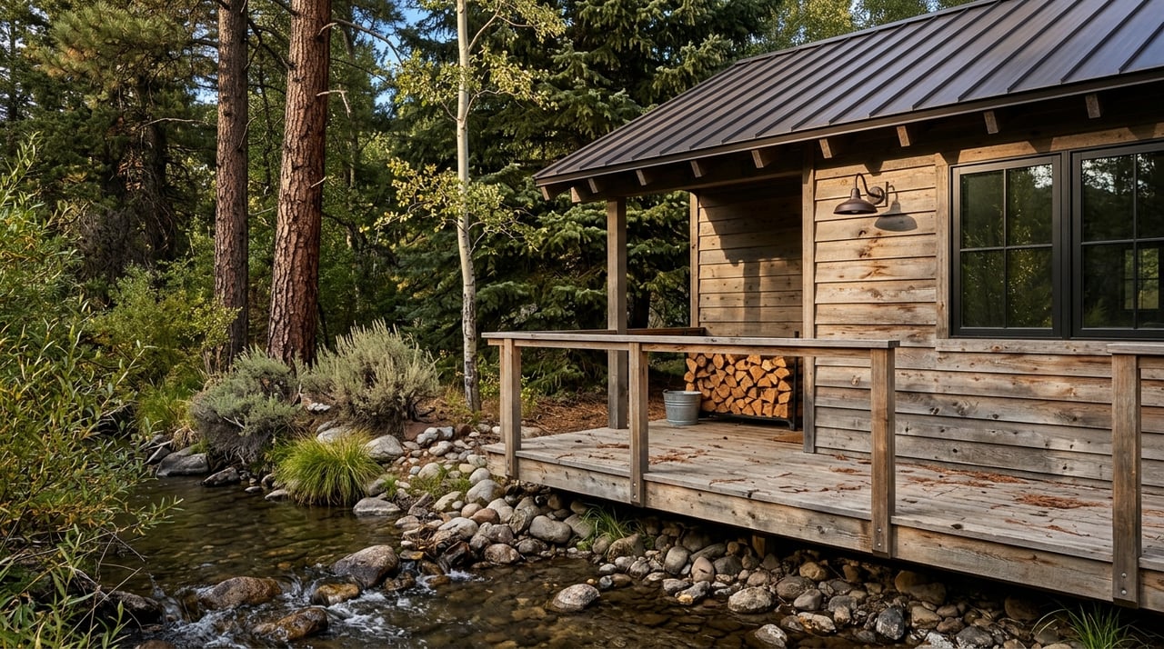
- Riverfront cabins and seasonal retreats
- Recreation‑oriented camps and guest ranch operations
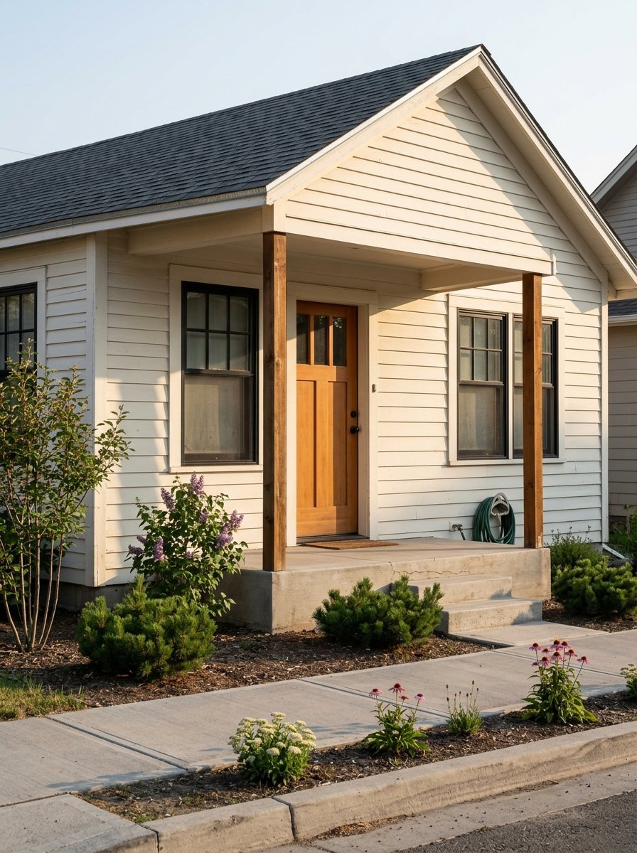
- A small number of clustered residential parcels closer to Big Timber
The county identifies the Boulder valley as low‑density, with many parcels 20 acres or larger and a wide presence of agricultural uses and conservation easements. For a deeper land‑use overview, review the Sweet Grass County Growth Policy.
Access, roads, and winter realities
Main access up the valley follows State Highway 298, also called Main Boulder Road. It is paved to Natural Bridge. Old Boulder Road offers another corridor closer to the river but is primarily gravel and not maintained like the state highway in all seasons.
In winter, side roads can be drifty, slick, or seasonally gated. This matters for commuting, deliveries, and emergency response. Before you write an offer, confirm who maintains the road, whether there is a private road agreement, and if plow routes are reliable for year‑round use.
Utilities and connectivity
- Electricity and gas: NorthWestern Energy serves the Big Timber area. For remote acreage, ask about line‑extension costs and timelines.
- Internet: Triangle Communications offers fiber and wireless solutions in parts of Sweet Grass County. Some addresses rely on cellular or satellite. Always check availability for the specific property.
- Phone and coverage: Cell service varies with terrain. In some pockets, a booster or hard‑line internet calling helps.
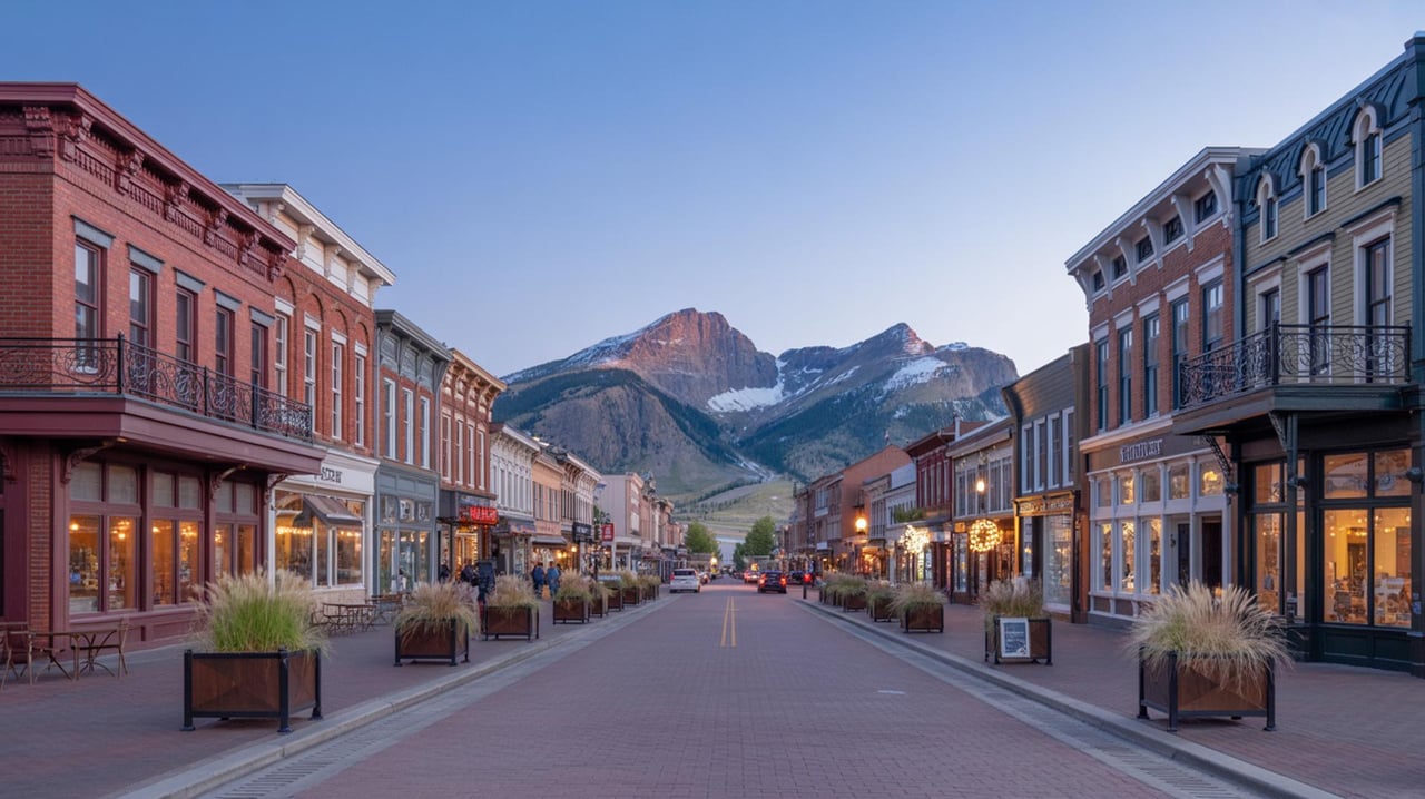
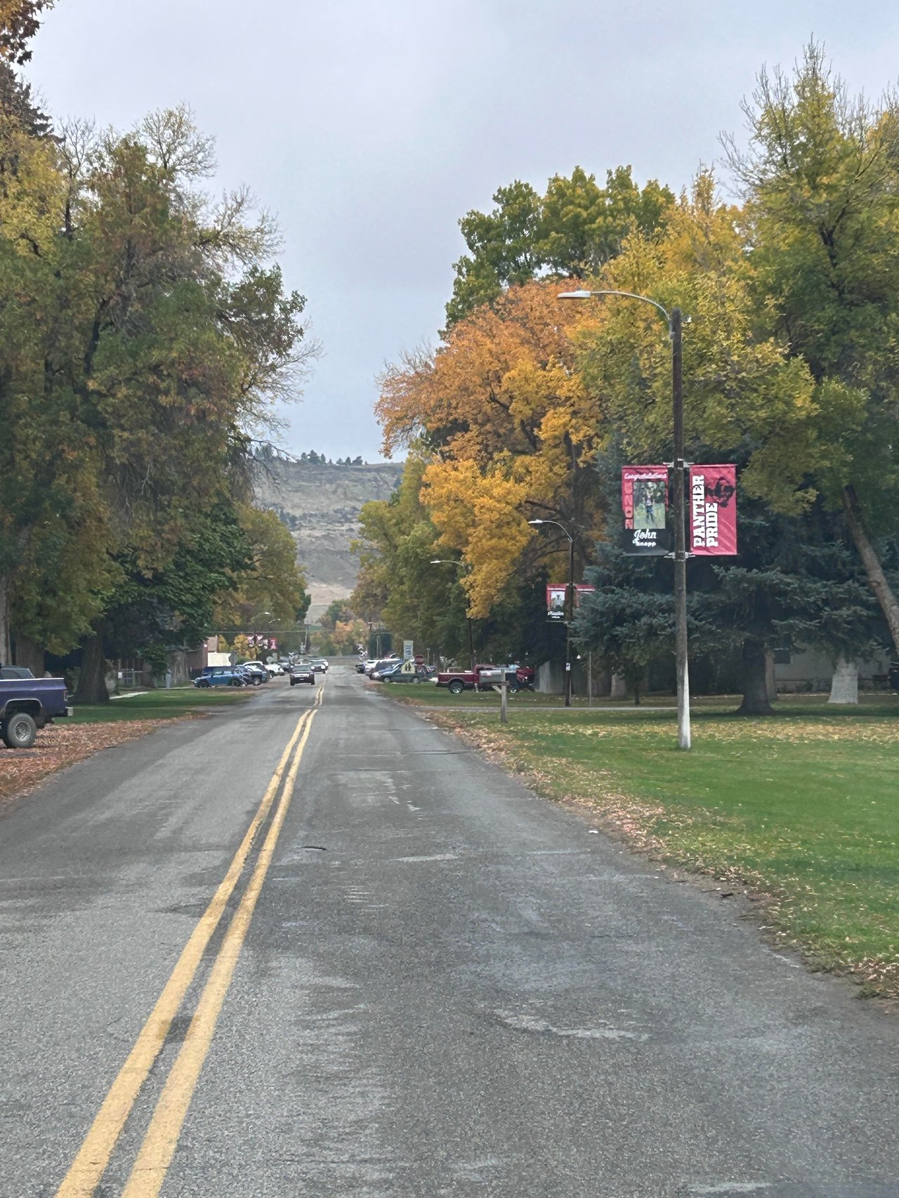
Big Timber, the county seat, provides basics like groceries, dining, hardware, and a hospital/clinic for routine and urgent care. The local chamber and visitor center is a good place to learn about services and community events.
Septic, wells, and river‑adjacent permits
Most rural parcels use a private well and on‑site wastewater system. Plan for soil tests, a septic design, and county health review. Any work in or near streams often triggers permitting. In Montana, streambank work commonly requires a 310 review under the Natural Streambed and Land Preservation Act. Start with the state’s overview of stream permitting and 310 review, and coordinate early with the county planning and floodplain office.
Flood risk is real along parts of the Boulder near Big Timber. The county participates in the National Flood Insurance Program and administers local floodplain rules. Before you move forward on a build or an addition, check the parcel’s FEMA/FIRM status and mapped flood zone with the Sweet Grass County floodplain administrator.
Water rights and instream flows
Irrigation ditches, headgates, and water‑right seniority are part of valley life. Clarify which water rights convey with a property, where the diversion sits, and who maintains the ditch or pipeline. Montana Fish, Wildlife & Parks also manages instream flow reservations on the Boulder and references the USGS gage at Big Timber for water‑right calls. For background on how calls work, see FWP’s water‑management protocol document in their public library.
Wildfire and defensible space
Like most of rural Montana, the Boulder corridor includes wildland‑urban interface areas. Creating defensible space, managing fuels near structures, and understanding insurance requirements are smart moves for buyers and owners. Sweet Grass County’s current Community Wildfire Protection Plan outlines local priorities and homeowner steps to reduce risk.
What to weigh before you buy
- Winter access: Ask about plowing, gates, and maintenance on side roads and private lanes. Verify school bus and delivery access if needed.
- Flood risk and costs: If a parcel lies in a mapped floodplain, you may face build limitations, engineering, or flood insurance. Confirm the exact zone with the county.
- Water rights and irrigation: Document what conveys, review headgate locations, and understand ditch maintenance responsibilities.
- Public vs. private river access: Much bank frontage is private below Natural Bridge. Plan to use official FWP access sites for wading or launching.
- Utilities and connectivity: Confirm electricity at the lot line and price any line extensions. Check internet options by address.
- Routine riverfront upkeep: Budget for culvert cleaning, debris removal after runoff, erosion control, and driveway maintenance.
- Wildfire prep: Review defensible‑space needs and any requirements from your insurer.
A quick buyer checklist for Boulder‑country acreage
- Check the parcel’s FEMA/FIRM flood zone with the county floodplain office and note any permit triggers.
- Review historical flows at the USGS gage to understand runoff timing and peak seasons.
- Ask the seller for recorded water rights and details on any ditches, headgates, or pipelines.
- Confirm road maintenance responsibilities, winter plow routes, and any private road agreements.
- Verify well and septic feasibility with the county sanitarian and plan for site evaluations.
- Price electrical line extensions and confirm internet options with local providers.
- If fishing or floating is a priority, map the nearest FWP access sites and talk with a reputable local guide about safe flow windows.
Ready to explore riverfront or acreage near Big Timber with a broker who understands rural land, water, and access? Reach out to Dayle Stahl for a personal consult and a curated look at properties that fit your lifestyle and goals.
FAQs
When is the best time to enjoy Boulder River fishing as a resident?
- Summer and fall often offer clearer, lower flows for wading, while late spring runoff typically brings higher, faster water that limits access.
How does Boulder River floodplain status affect building plans?
- If your parcel is in a mapped flood hazard area, you may need engineered mitigation or face restrictions, and the county will review projects through the local floodplain program.
What permits do I need for work near the Boulder River bank?
- Many in‑stream or bank‑altering projects require a Montana 310 review and may involve county floodplain permits, so coordinate with state and county offices early.
What utilities and internet options are typical along the Boulder corridor?
- Expect electric service from a regional utility in most areas, with address‑specific internet that could be fiber, fixed wireless, cellular, or satellite.
Where can I legally access the Boulder River if I don’t own riverfront?
- Use official FWP Fishing Access Sites like Boulder Forks and follow posted rules, since much riverbank below Natural Bridge is private.