Looking for a Montana property that feels tucked away without losing touch with the wider valley? Around McLeod, you will find a landscape shaped by rivers, canyon walls, cabins, and larger acreage properties that can feel both peaceful and practical. If you are thinking about a getaway place, a creekside retreat, or a full-time rural home, this guide will help you understand what makes the McLeod area distinct and what to check before you buy. Let’s dive in.
McLeod at a Glance
McLeod is an unincorporated community in Sweet Grass County near the meeting point of the West Boulder River and the Boulder River. County planning materials note that it is not a platted town site, though a post office and elementary school sit near the center of the community.
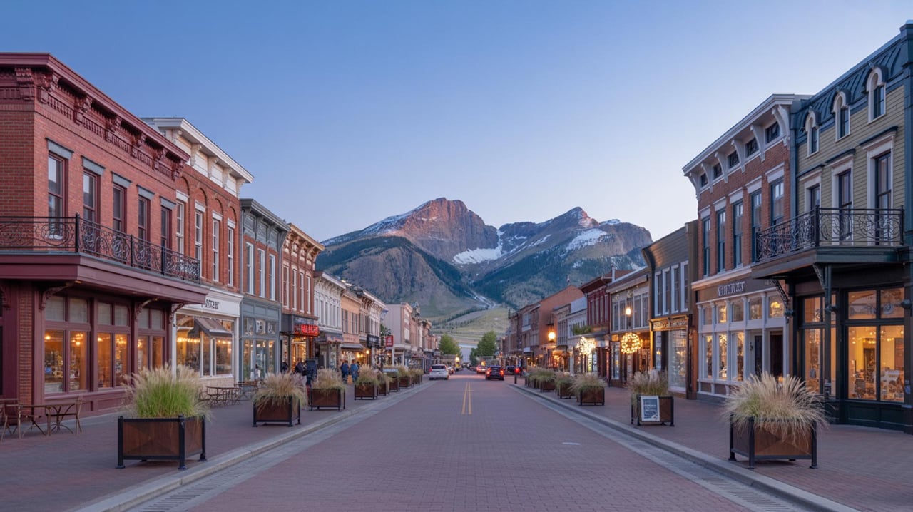
For many buyers, Big Timber is the easiest point of reference. Official recreation directions place the Boulder corridor south of Big Timber along Secondary Highway 298, also called Main Boulder Road, with destinations like Natural Bridge Falls and the East Boulder drainage branching deeper into the valley.
Why Buyers Are Drawn to McLeod
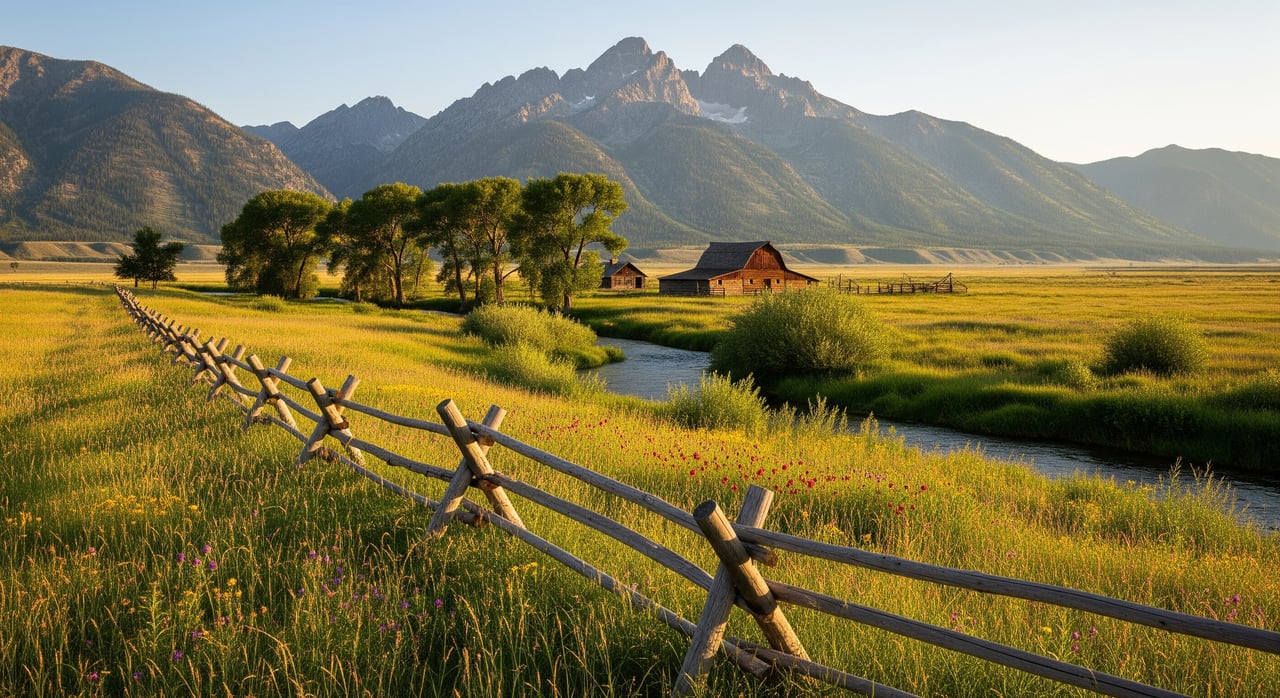
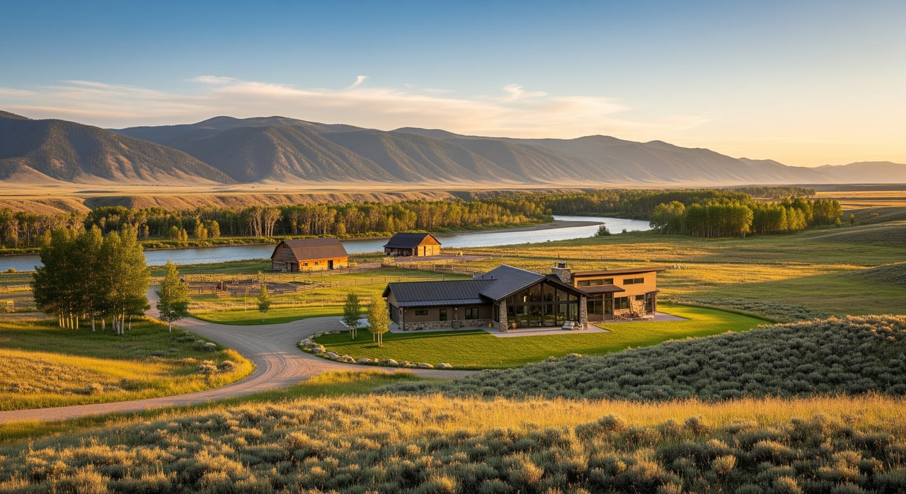
The appeal here is easy to understand once you see the setting. As you move south from the broader river-bottom landscape, the valley narrows and the scenery shifts into more of a canyon-and-public-land environment.
That change creates a strong lifestyle draw for buyers who want mountain views, river access, and a quieter pace. The area is widely associated with fishing, camping, hiking, hunting, horseback riding, and rustic resort-style getaways, all of which shape how people use and value property here.
Nearby recreation spots help explain why this corridor stands out. Natural Bridge Falls offers paved trails, picnic tables, interpretive panels, and fishing access, while places like East Boulder Campground and Boulder Forks Fishing Access Site reinforce the area’s strong connection to outdoor recreation.
Property Types Around McLeod
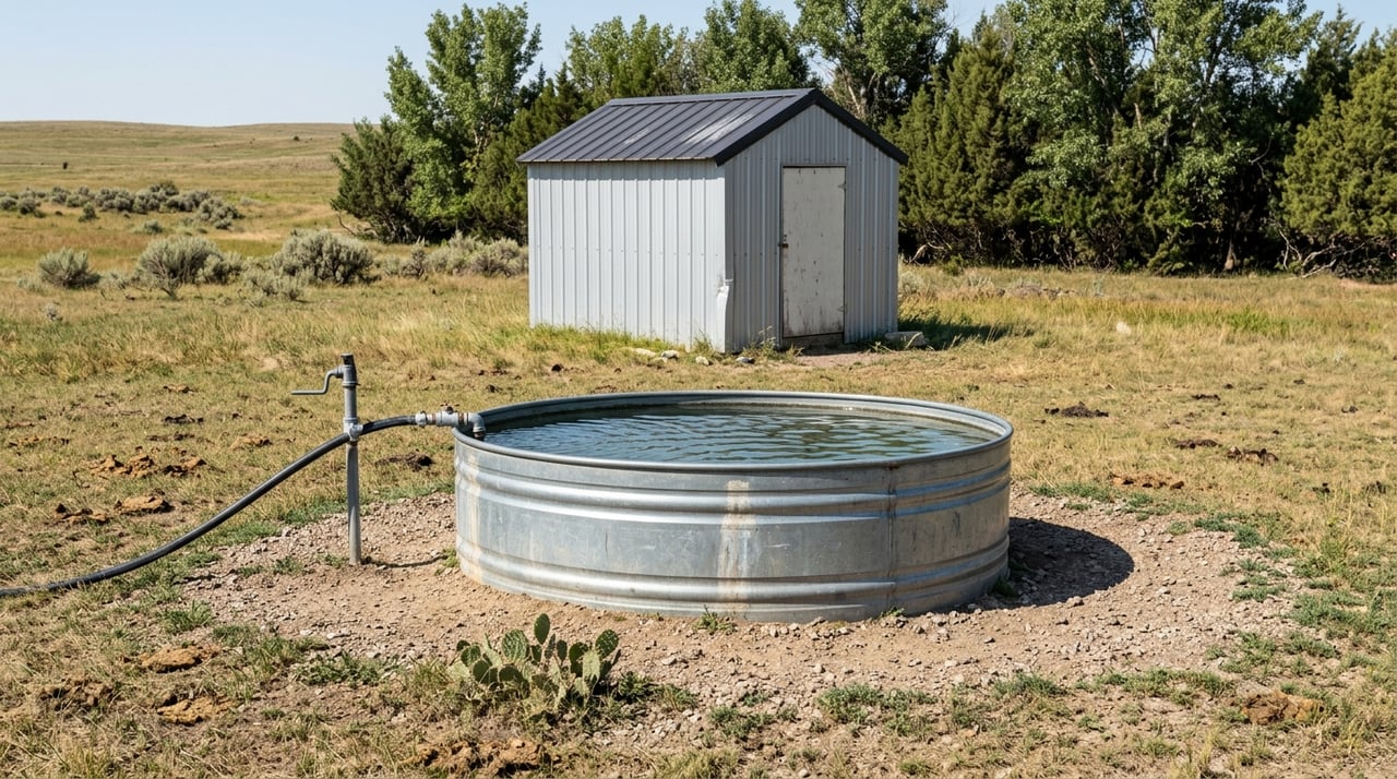
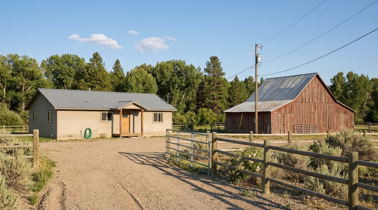
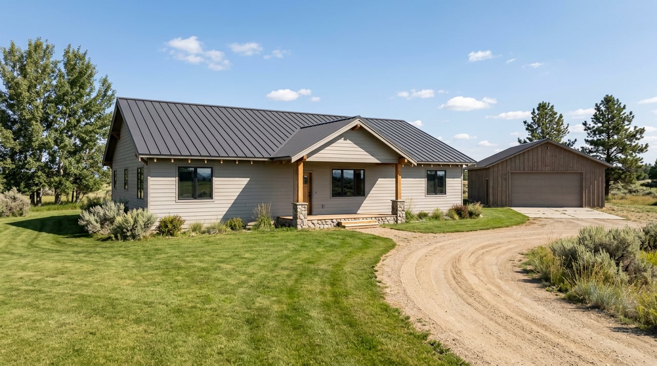
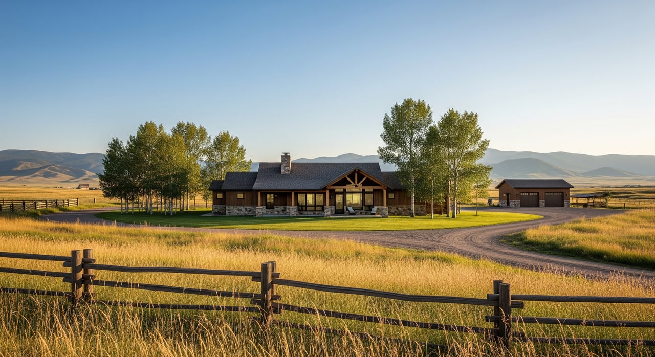
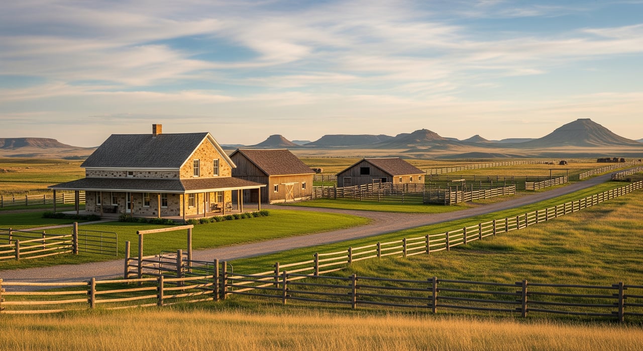
If you expect a typical subdivision market, McLeod will likely feel very different. Sweet Grass County planning documents describe a landscape with a high concentration of conservation easements, residential clusters along Susie Creek and the West and East Boulder Rivers, and a pattern where most residential properties are 20 acres or larger.
That means your options may include cabins, larger acreage homes, recreation parcels, and river-adjacent retreats rather than tightly grouped residential neighborhoods. In the broader county, the land mix is roughly 72% private land, 23% U.S. Forest Service land, 4% state trust land, and 1% BLM land, which helps explain the variety buyers encounter.
The Boulder Valley also has a layered identity. County materials reference church camps, a dude ranch, bed and breakfasts, and about 80 vacation cabins in the valley, while the corridor above Natural Bridge includes Forest Service land, patented homesteads, and mining claims.
McLeod itself has long carried a small resort flavor. County planning records describe a trailer park plus a bar and restaurant in the community, and note that the area once operated more like a resort destination with hot springs, fishing access, and cabin rentals.
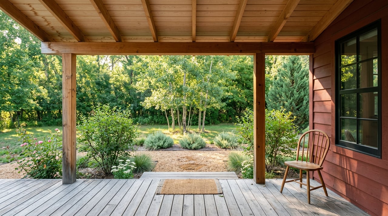
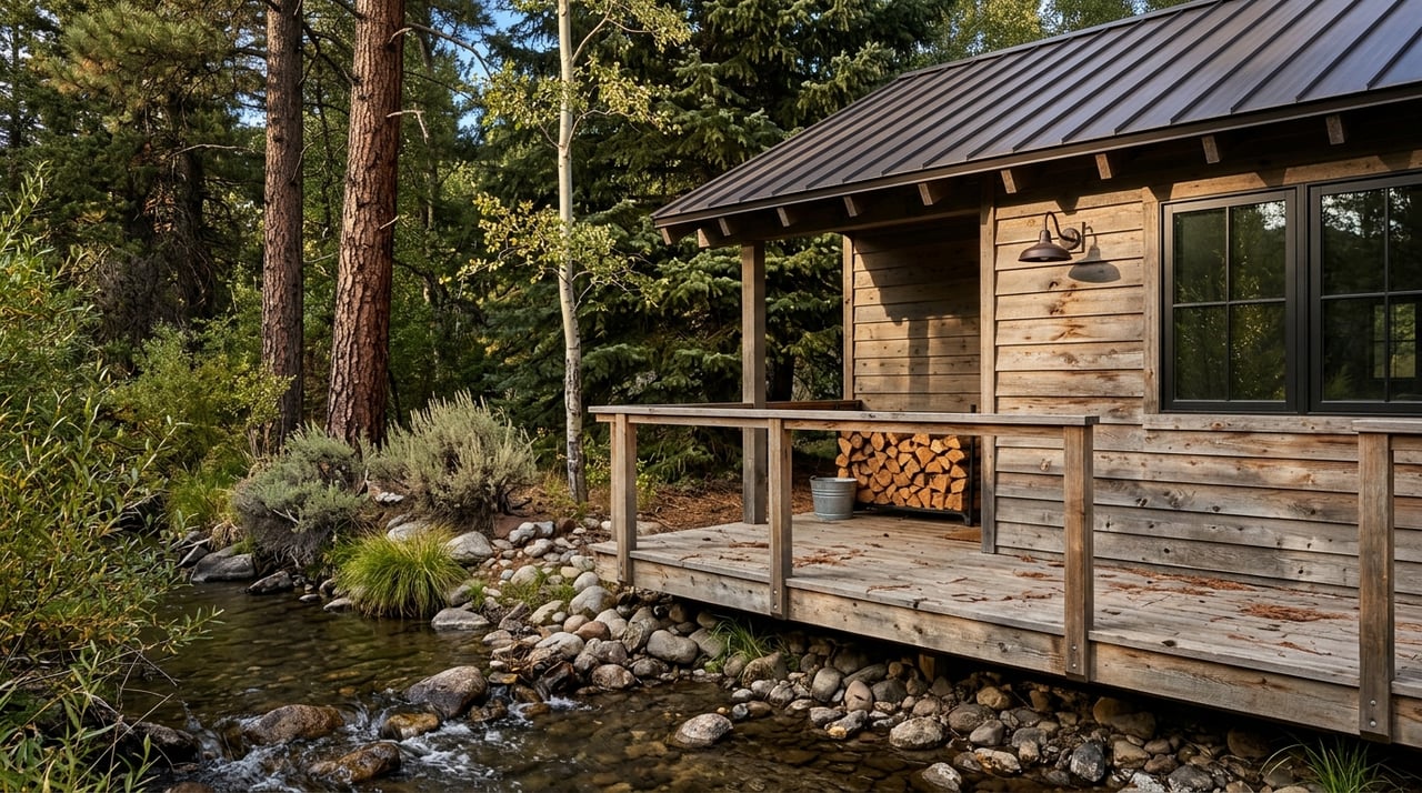
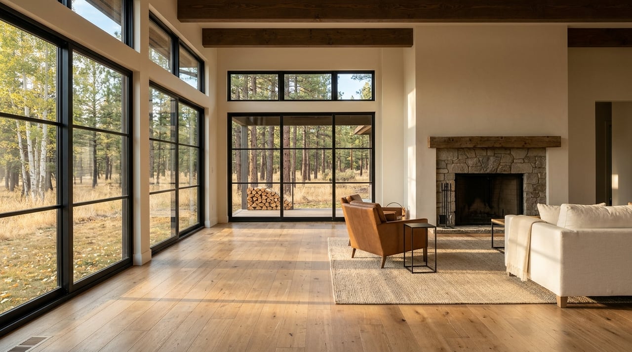
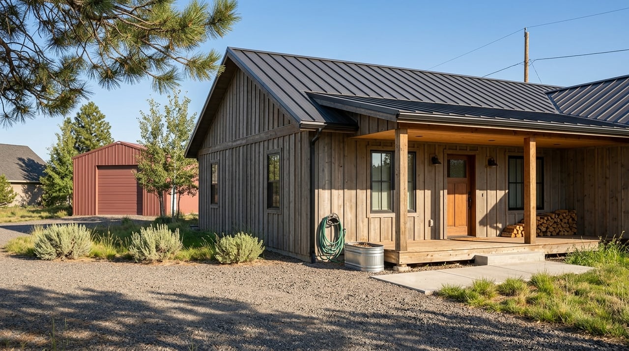
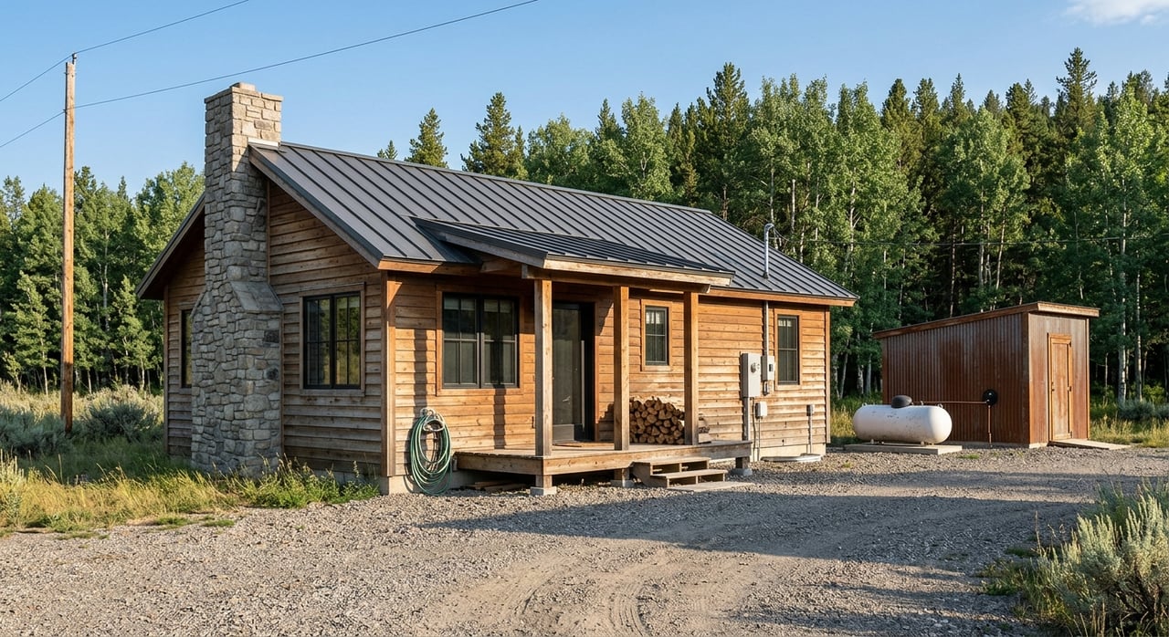
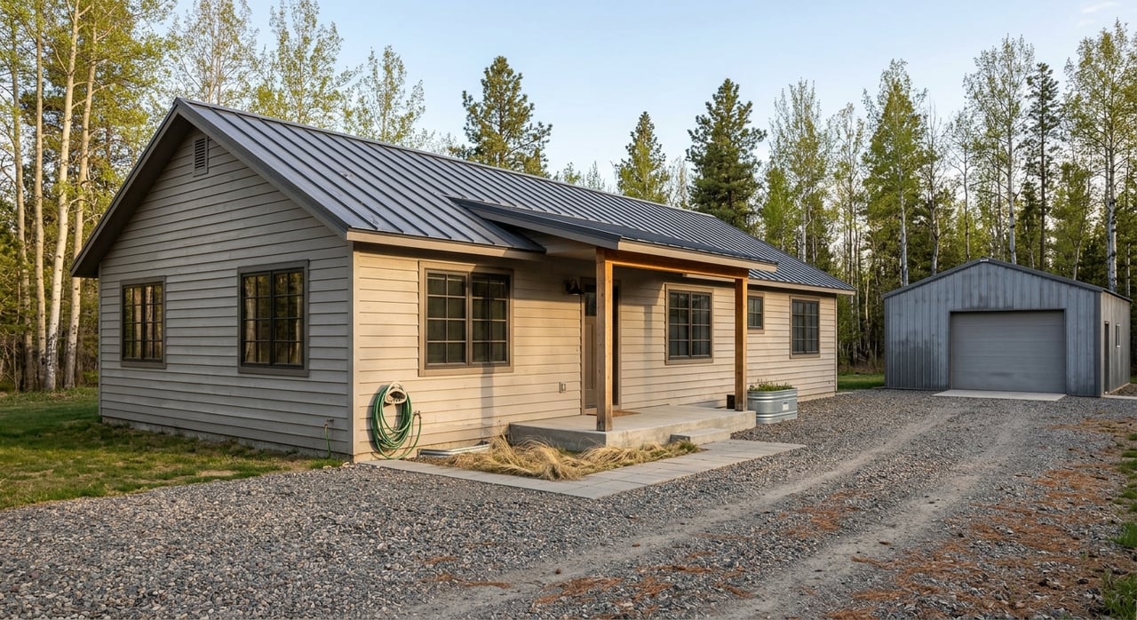
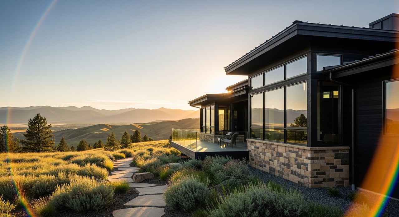
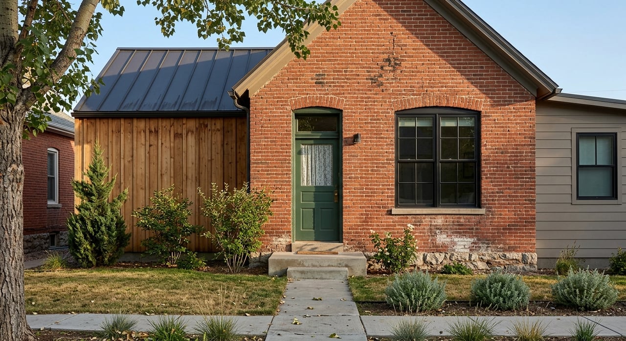
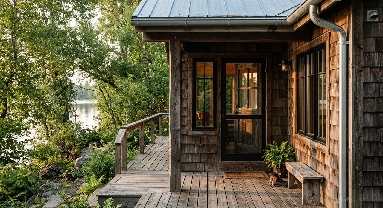
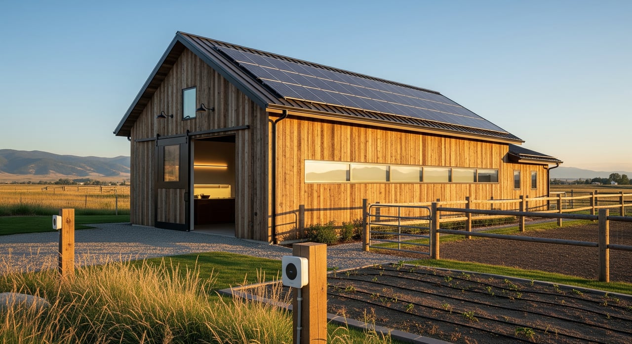
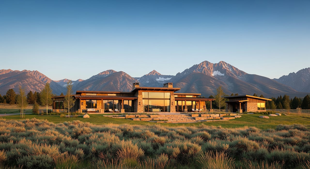
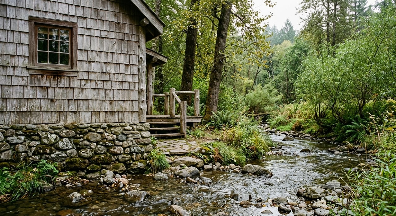
Cabins, Acreage, and Creekside Appeal
For second-home buyers and lifestyle buyers, the McLeod area often checks a lot of boxes. You can find privacy, natural beauty, and direct access to the kinds of outdoor settings people picture when they think of Montana cabin living.
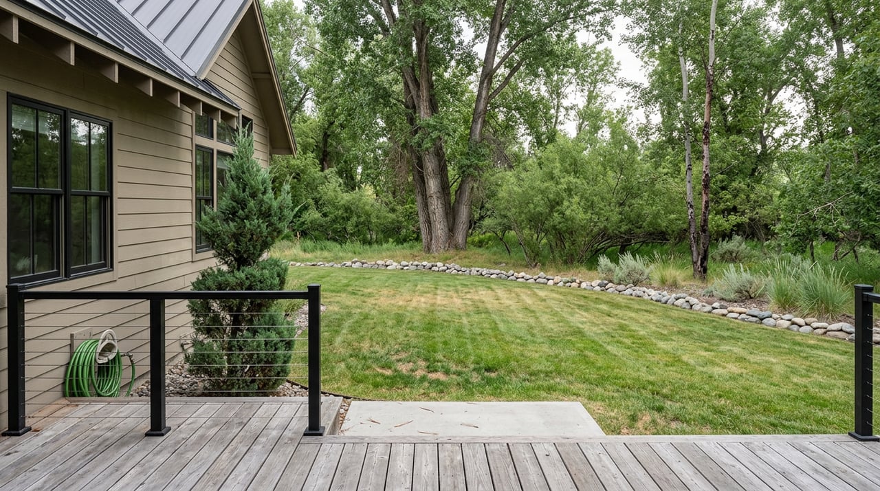
Creekside and river-adjacent properties can be especially appealing, but they also deserve careful review. In this part of Sweet Grass County, water, access, and buildability matter just as much as views.
Larger parcels can offer flexibility and elbow room, yet they may come with more due diligence than a conventional in-town purchase. If you are comparing properties here, it helps to think beyond the cabin itself and focus on the full ownership picture.
Seasonal Access Matters Here
One of the biggest practical differences in the McLeod area is seasonal access. Official recreation information notes that access to some trails, including Green Mountain Trail, may be limited in spring, fall, and winter due to snow.
County planning materials also say winter access on the Main Boulder Road and the older access road can be limited. That does not mean a property cannot work for year-round ownership, but it does mean you should verify how the parcel is accessed in different seasons.
Road maintenance is part of that conversation. Sweet Grass County says its Road and Bridge Department maintains more than 562 miles of county roads and bridges, and its priority system includes a seasonal-traffic category that receives maintenance once per year.
A useful question to ask early is simple: What road class serves this parcel? That answer can shape everything from winter use to maintenance expectations.
Public Land Boundaries and Road Changes
In the Boulder corridor, roads and land ownership can shift as you travel deeper into the valley. County planning materials state that Main Boulder Road becomes a Forest Service road at Natural Bridge, and that the West Boulder and East Boulder roads also convert to Forest Service roads at Forest Service boundaries.
For buyers, that matters because access is not always uniform from one property to the next. A parcel may feel close to recreation and public land, but the details of frontage, legal access, and maintenance responsibility still need to be confirmed.
This is one reason local, parcel-level guidance matters so much in rural Montana. A property can be beautiful and still require a closer look at how you actually reach it and use it over time.
Floodplain Awareness for Creekside Property
Water is a major part of the area’s appeal, but it also brings added planning considerations. Sweet Grass County participates in the National Flood Insurance Program and has adopted mapped 100-year floodplains for the Boulder River, East Boulder, Big Timber Creek, and other streams.
If a parcel sits in a mapped hazard area, development must be reviewed and may require a floodplain permit. For buyers considering creekside land, river frontage, or a future building site, floodplain status should be one of the first things you verify.
This does not automatically rule out a property. It simply means you need a clear picture of how floodplain mapping may affect building plans, improvements, and long-term use.
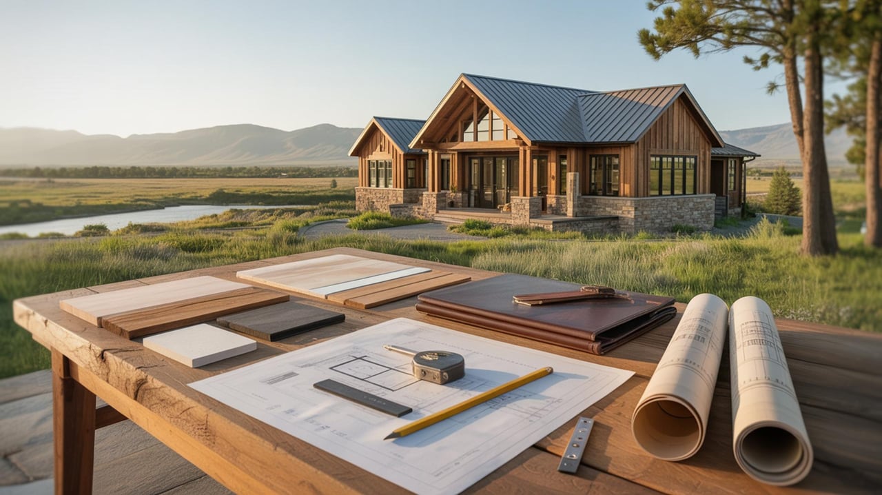
Building and Dividing Land
If you are buying with plans to build, remodel, or divide land later, county rules become especially important. Sweet Grass County subdivision regulations require legal and physical access, floodplain documentation, approval for new approaches onto county roads or state highways, and adequate water source and septic feasibility for lots.
In other words, a parcel that looks ideal on paper may still require additional review before it fits your plans. Early due diligence can help you avoid surprises and focus on properties that match how you want to use the land.
For many buyers, this is where local expertise adds real value. Rural properties often have more moving parts than a standard residential purchase, especially when access, water, and future use all come into play.
Wildfire Planning Is Part of Ownership
Wildfire is another key ownership reality in the Boulder corridor. Sweet Grass County’s wildfire protection plan identifies the Main Boulder as one of the highest-risk areas due to heavy recreational use, a poor transportation system, and the potential for extreme fire behavior.
The plan also highlights common rural fire challenges such as long, narrow access routes, limited water supply, poor signage, and propane tanks. These are practical issues that can affect both day-to-day ownership and emergency response.
If you are looking at a cabin, seasonal property, or full-time home in this area, it is smart to review wildfire mitigation needs early. Access, defensible space, and site layout all matter in a setting like this.
What to Check Before You Buy
In a market like McLeod, the best first step is to think like a landowner, not just a home shopper. The scenery may draw you in, but the details will shape how smoothly you can enjoy the property.
A strong early checklist includes:
- Road access and road maintenance category
- Floodplain status
- Water source
- Septic feasibility
- Legal and physical access
- Public land boundaries nearby
- Wildfire mitigation considerations
These items are especially important because the area is not uniform. Parcel-by-parcel verification is essential in a landscape where private land, state land, and Forest Service land all play a role.
Why McLeod Stands Out
What makes McLeod special is the mix. You get cabin-country charm, a river-valley setting, access to public recreation, and a rural ownership pattern that still feels tied to Montana’s ranch and recreation heritage.
You also get variety. Some buyers may be drawn to a modest retreat near the water, while others may prefer larger acreage with room to spread out and long views across the valley.
If you want a property that feels connected to rivers, canyons, and the outdoors, McLeod offers a setting that is hard to replicate. The key is understanding both the lifestyle and the logistics before you make a move.
If you are exploring cabins, acreage, or creekside property around McLeod, working with a broker who understands rural Montana details can make the process much clearer. For direct, owner-led guidance on lifestyle, land, and recreational property, connect with Dayle Stahl.
FAQs
What is McLeod, Montana like for homebuyers?
- McLeod is an unincorporated community in Sweet Grass County near the West Boulder River and Boulder River, and the area is known for a rural, recreation-oriented setting with cabins, acreage properties, and river-valley landscapes.
How far is McLeod from Big Timber, Montana?
- Big Timber is the main reference point in official directions, and the Boulder corridor extends south from town along Highway 298 toward destinations like Natural Bridge Falls and the East Boulder drainage.
What types of properties are common around McLeod, Montana?
- Buyers are likely to encounter cabins, larger acreage homes, recreation parcels, and river-adjacent retreats, with county planning materials noting that most residential properties in the Boulder Valley are 20 acres or larger.
What should buyers check before buying creekside property near McLeod?
- Buyers should confirm road access, floodplain status, water source, septic feasibility, and wildfire mitigation considerations early in the process.
Is the McLeod area a year-round market or mostly seasonal?
- The area supports both seasonal and year-round ownership, but some access points, trails, and roads can be limited by snow, weather, or seasonal maintenance depending on the location.
Why does access matter so much for McLeod area property?
- Access can vary because county roads may transition to Forest Service roads and land ownership patterns are mixed, so each parcel should be checked for legal and physical access as well as maintenance expectations.